

Rand McNally Folded Map: United States Map
$7.99
Price: $7.99
(as of Oct 18, 2023 08:20:30 UTC – Details)

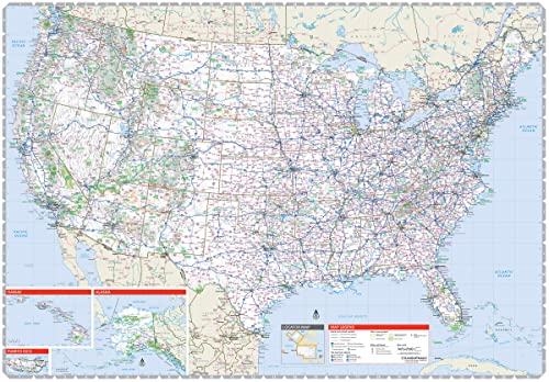
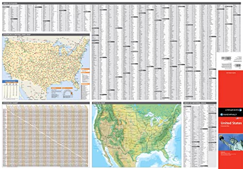
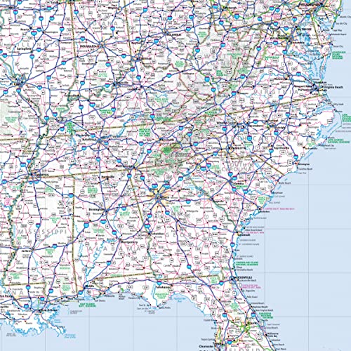
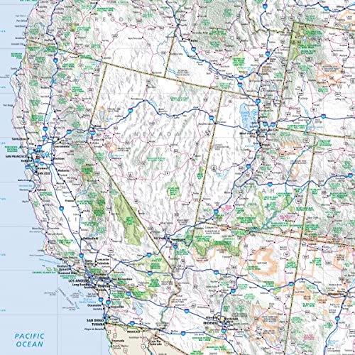
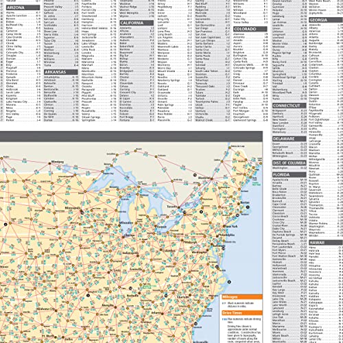
Rand McNally’s United States folded map features clear, easy-to-read cartography showing all Interstate and U.S. highways, along with clearly indicated cities, points of interest, airports, boundaries, and more. Rand McNally folded maps have been the trusted standard for years, offering unbeatable accuracy and reliability at a great price. •Interstate and U.S. highways. •Indications of cities, points of interest, airports, boundaries, and more. •Mileage chart. •Mileage & driving times map. •National facts and symbols. •Toll roads chart. •United States physical map. •Visitor information. Product Details: Measures 4.125″ x 9″ and folds out to “28”x40”.
From the Publisher
Rand McNally Folded Map: United States

Rand McNally folded maps have been the trusted standard for years, offering unbeatable accuracy and reliability at a great price.
Interstate and U.S. highways
Indications of cities, points of interest, airports, boundaries, and more
Mileage chart
Mileage & driving times map
National facts and symbols
Toll roads chart
United States physical map
Visitor information
Measures 4.125″ x 9″ and folds out to 25.5″ x 36.75″.
Publisher : Rand McNally (July 27, 2021)
Language : English
Map : 1 pages
ISBN-10 : 0528024671
ISBN-13 : 978-0528024672
Item Weight : 1.6 ounces
Dimensions : 3.94 x 0.47 x 9.06 inches


There are no reviews yet.